Blå bilder


Eugene and Chris Carr fishing off the rocks / the queue of people waiting to board the ferry from Rangitoto / Kris surveying the landscape while walking towards Islington Bay, Rangitoto / reclining rods on the wharf near Okahu Bay, Tamaki Drive. Taken with a Konica C35 EF.


After months of dulling grey Malmö skies, which seem to have seeped into my head and clouded my memories of my trip to Auckland like a heavy fog, things are looking up. The Spring equinox has come and gone, officially opening the season, and with daylight savings beginning tomorrow evening and positively balmy temperatures of 14 degrees, blue skies and long light evenings loom ahead of me. And finally, showing some photos of my 6 weeks in New Zealand doesn't feel like looking at Oz from the greyscale of Malmö's Kansas.

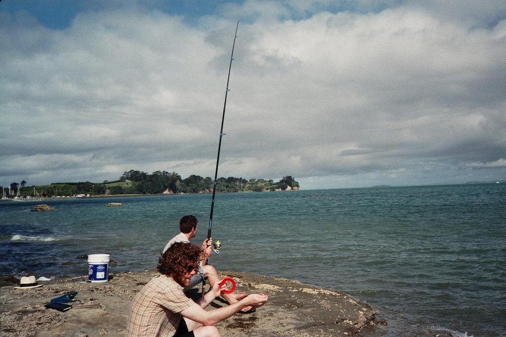
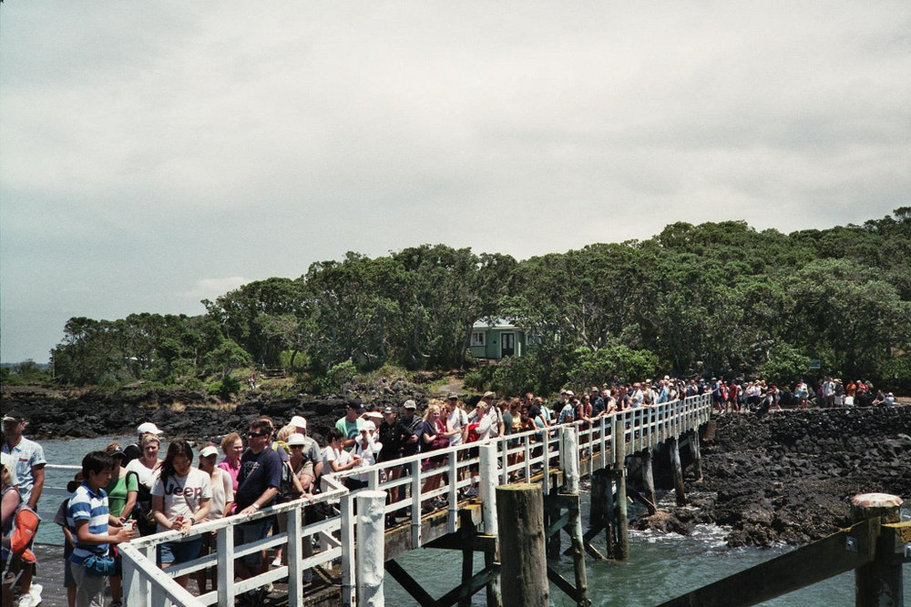
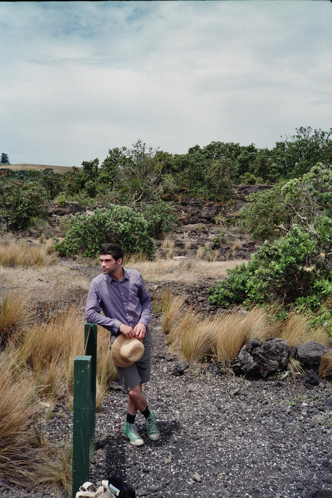
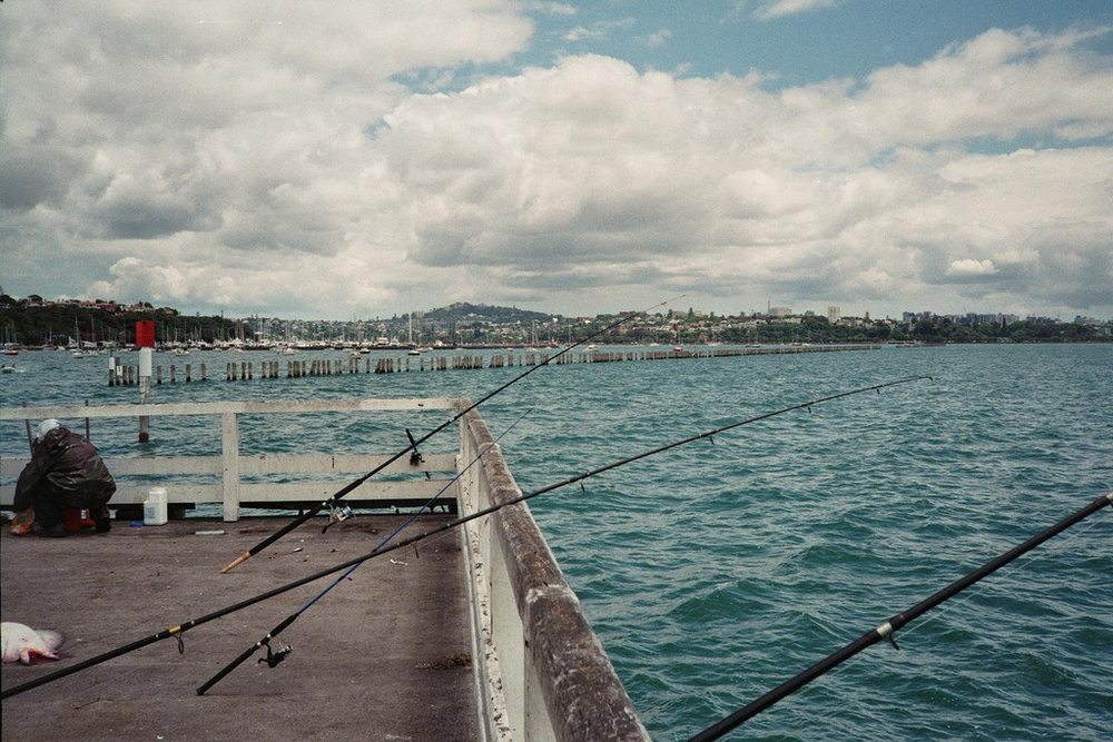
Though the actual weather in Auckland left much to be desired (daily surprise rainfall, blustery gales,constant cloud cover) I cannot help but associate the holiday with the colour blue, spending days clambering over rocks of Rangitoto, having 2 hour swims in the sea two times a day, fishing around the rocks at Matakatia and failing to catch anything, following the bays around Tamaki Drive, kayaking on the sailfish built by my uncle and grandfather, or rowing in the dory before it mysteriously vanished from the beach one morning never to be heard of again. Fate to this day, is unknown.
I could never live anywhere that wasn't near the sea. Swimming in the rain is one of the best feelings, and so is swimming in the early morning.

Looking at these is making my feet itch, wanting to take my new Marni for H&M swimsuit down to the beach for a dip. I now have three pairs of togs, and all of them are blue. Must be something subconscious about wanting to blend into my surrounds.

Great Scott


Three photographs taken by Robert F. Scott on his ultimately fatal expedition to Antarctica, racing the Norwegian Roald Amundson to the South Pole across the desolate and uncompromising, yet epic and sublime landscape. 

Scott was an amateur photographer taught the technical basics by the expeditions professional, Herbert Ponting, so Scott could document the final trudge to the Pole for scientific (and now, historic) purposes. A collection of Scott's photographs have recently been rediscovered and compiled into a book 'The Lose Photographs of Captain Scott' by David M. Wilson, incidentally the great-nephew of Dr Edward Wilson, member of the Terra Nova Expedition.

They make me feel an astonishing sense of loneliness and isolation that I have grown to associate with rocks, ice, islands and the colour white.

some brief descriptions of the above photographs, via The Guardian

1. Dr Edward Wilson sketching on the Beardmore Glacier, lunch camp, 13 December 1911

Wilson is seen here sitting quietly, sketching. He was one of the last artists in the great expedition tradition in which the pencil was the main method of making records. He produced many yards of accurate geographical drawings, as well as extensive notes and sketches of anything of scientific interest. Here he is drawing the mountain ranges along the Beardmore Glacier, from Mount Elizabeth (left) to the Socks Glacier and Mount Fox (right).
This panorama is the finest example of Scott's mastery of his camera, gained on the march in extreme conditions. The combination of action and repose – illustrative of Scott's unique pictorial understanding – encapsulates the contrast between the Antarctic's majesty and man's diminutive presence

2. Ponies on the march, 2 December 1911

As the pony column disappears into the distance, the "sledgeometer" on the final sledge clicking the mileage as it goes, the straggle of ponies becomes veiled in the icy wilderness. Many of the men in this image would return, but not all. None of the ponies would: within a few days they would be shot.

3. Camp under the Wild Mountains, 20 December 1911

Scott took this impressive image to capture the interesting geological features around Mount Wild. On the sledge in the camp, two figures can be seen sketching. On the left, Apsley Cherry Garrard is drawing the view towards Mount Buckley; on the right, Edward Wilson is making detailed sketches and notes of the geological features so clearly visible in Scott's photograph. The other figure that can be seen is probably Birdie Bowers, who died with Scott on their return from the polar expedition, just months later. Scott returned his camera to base with the First Supporting Party as they departed from the top of Beardmore Glacier towards Cape Evans. Critically, this lightened the sledge loads for the push across the Polar Plateau to the South Pole. Bowers, with his lighter camera, was chosen by Scott to become the photographer for the final pole party.


Wayward Land


Chart of Segment of the Western Arctic North and Northwest of Grant Land by Edwin Swift Balch, 1912, showing the unexplored 'Crocker Land', sighted by Robert Peary in 1906. This fabled land lead to an ill-fated expedition to explore the nature and possible inhabitants of Crocker Land, however they discovered the land in fact, did not exist, and was actually a type of mirage known as a Fata Morgana.

The day was exceptionally clear, not a cloud or trace of mist; if land could be seen, now was our time . Yes, there it was! It could even be seen without a glass, extending from southwest true to northeast. Our powerful glasses, however.. brought out more clearly the dark background in contrast with the white) the whole resembling hills, valleys and snow-capped peaks to such a degree that, had we not been out on the frozen sea for 150 miles, we would have staked our lives upon its reality. Our judgment then as now, is that this was a mirage or loom of the sea ice.

 This imaginary land mass, created by a trick of the light, and the subsequent effort of the Crocker Land Expedition, is the basis for a new work I have begun in my new studio space. A hand embroidered rendering of this map on a white shower curtain, stitched in white thread and fishing line, blurring outlines with surroundings, incorporating materials which will shimmer in the light, reflecting upon ideas of mirages and mistaken realities, and the feeling of being small and inconsequential in a vast, cold landscape.

This is the first work of a series I am working on involving ideas about loneliness, solitude, islands, ships and the sea.

"...the Crocker Land mirage could symbolise the loneliness of the sea in another way. It is almost like a delusion instead of an illusion, something Donald Crowhurst may have imagined seeing, to convince himself of his sanity (or lack thereof). The sense of false hope a mirage can cause, just like how a weary traveller in the desert believes the mirage he is seeing is an oasis, it is uncanny how it appears to take the form of the thing one most desires, and the opposite of what is actually there - in the desert one believes he is seeing water, whereas at sea, one thinks he has sighted land."
- notes from my art journal about Crocker Land and mirages.

Robert Peary in the Arctic


 Robert Peary in Arctic furs.

"In June 1906, Commander Peary, from the summit of Cape Thomas Hubbard, at about latitude 83 degrees N, longitude 100 degrees W, reported seeing land glimmering in the northwest, approximately 130 miles (210 km) away across the Polar Sea. He did not go there, but he gave it a name in honor of the late George Crocker of the Peary Arctic Club. That is Crocker Land. Its boundaries and extent can only be guessed at, but I am certain that strange animals will be found there, and I hope to discover a new race of men."

- Donald Baxter MacMillan